TL;DR
A Chinese research team has created a satellite-based model that accurately estimates the surface temperature of photovoltaic panels at utility-scale solar farms. Using MODIS satellite data and advanced correction techniques, this method overcomes previous limitations related to mixed land cover and array geometry. It enhances the reliability of satellite-derived PV performance data, with potential applications in global solar monitoring.
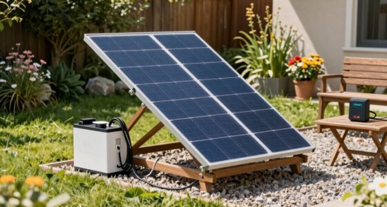
A Chinese research team has introduced a novel satellite-based model that accurately estimates the surface temperature of photovoltaic panels in large-scale solar farms, marking a significant advancement in remote sensing for solar energy analysis. This development enables more reliable assessment of PV performance from space, which is critical for energy planning and grid management worldwide.
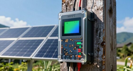
The research team used data from NASA’s MODIS satellites, which provide thermal infrared imagery at a 1 km resolution, to develop a scene-aware panel surface temperature (PST) retrieval model. This model corrects for mixed-pixel effects, array geometry, and the low, directional emissivity of PV panels, factors that historically hinder accurate satellite temperature estimation. By integrating high-resolution Sentinel-2 imagery and a detailed 3D model of PV arrays, the team was able to separate the thermal signals of PV modules from surrounding ground and infrastructure, improving the precision of temperature retrievals.
Validation against ground measurements at two Chinese solar farms—one in Xinjiang and another in Sichuan—showed that the new method reduces the root mean square error (RMSE) of temperature estimates from approximately 10–19°C to around 4–9°C. It also significantly lessened the systematic cold bias, bringing satellite estimates closer to actual measured temperatures. These improvements correspond to a 3–5% reduction in PV power simulation bias, enhancing the accuracy of performance modeling based on satellite data.
Implications for Solar Performance Monitoring
This breakthrough allows for more accurate, large-scale thermal monitoring of PV installations from space, which can improve performance assessment, maintenance planning, and energy yield forecasting. The ability to estimate panel temperatures reliably from satellite data helps utilities and researchers better understand operational efficiency, especially across regions lacking extensive ground-based sensors. It also supports the development of global PV monitoring datasets, aiding in climate impact studies and renewable energy policy decisions.

BaldrTherm Indoor Outdoor Thermometer Wireless, Digital Temperature Humidity Monitor, Temperature Gauge with 330ft Range | Solar & Battery Hybrid Power for Greenhouse, Patio, Home, 1 Sensor
- Dual Power Source: Solar and battery-powered for longevity
- Long-Range Wireless Monitoring: Supports 3 channels within 330ft range
- Real-Time Data Tracking: Easily toggle between multiple sensors
As an affiliate, we earn on qualifying purchases.
As an affiliate, we earn on qualifying purchases.
Advances in Satellite-Based PV Temperature Estimation
Previous efforts to estimate PV panel temperatures from satellite data faced challenges due to mixed land cover within satellite pixels, array geometries, and the unique emissivity properties of PV panels. Traditional land surface temperature retrievals often resulted in significant errors, limiting their usefulness for PV performance analysis. The recent development by the Chinese team builds on prior remote sensing techniques by explicitly modeling the scene-specific effects of PV arrays, addressing these limitations. Validation studies in China demonstrate the method’s potential, though winter conditions and shading effects remain areas for further research.
“Our method goes beyond conventional land surface temperature retrievals by accounting for the three-dimensional structure of PV arrays and the low, directional emissivity of PV panels.”
— Kun Yang, corresponding author

Drone Thermography for Beginners 2026: The Practical Field Guide to Thermal Drone Inspections, Solar Panels, Roofs, Image Interpretation, Field Workflows, … Reports (Ashwick Exam Prep Series™)
As an affiliate, we earn on qualifying purchases.
As an affiliate, we earn on qualifying purchases.
Limitations of Winter and Shaded Area Estimates
The researchers acknowledge that the current model performs best during warm seasons. Winter conditions, such as shadows and snow cover, pose challenges, potentially causing underestimation of panel temperatures. The team plans to develop methods to better estimate the temperature of shaded gaps and snow-covered areas, which remain unaddressed in the current model.

Rack-A-Tiers Solar Serpent – 5-in-1 Multipurpose Solar Connector Tool for MC4, T4, PV4, PV4-S, and Amphenol H4, Universal Solar Panel Tool, Built-in ¼” and ⅜” Wrench, Flat-Head Screwdriver (#30200)
- Multipurpose Solar Tool: Includes disconnect, wrenches, screwdriver
- Universal Compatibility: Works with all solar panel brands
- Durable Construction: Made of steel for long-lasting use
As an affiliate, we earn on qualifying purchases.
As an affiliate, we earn on qualifying purchases.
Next Steps for Broader Validation and Application
The research team intends to test the model across different climates and array configurations, including fixed-tilt and tracking systems, to assess its generalizability. They also aim to develop algorithms that account for winter shading and snow cover, with the goal of creating a comprehensive global dataset of PV panel temperatures. This will support both research and industrial applications, enhancing renewable energy management worldwide.

ZIBOO FT-2000W Solar Panel Tester MPPT Meter – 2000W Max Power, 150V/35A PV Module Tester for Voc/Isc, Open Circuit Voltage & Short Circuit Current, with Backlight & Data Hold
- Maximum Power Measurement: Up to 2000W with high accuracy
- Voltage and Current Testing: Measures Voc 12-150V, Isc 35A
- Real-Time MPPT Tracking: Optimizes Vmp and current for efficiency
As an affiliate, we earn on qualifying purchases.
As an affiliate, we earn on qualifying purchases.
Key Questions
How does this satellite-based method improve PV performance monitoring?
It provides more accurate estimates of panel surface temperatures from space, enabling better assessment of efficiency, maintenance needs, and energy output predictions for large solar farms.
What are the main challenges remaining for this technology?
Winter conditions, such as shadows and snow cover, still cause inaccuracies. The team is working on methods to better estimate shaded and snow-covered areas.
Can this method be applied globally?
Yes, but further validation across different climates and array types is needed to ensure its broad applicability.
Why is accurate satellite measurement of PV temperature important?
It helps improve the reliability of performance estimates, supports maintenance planning, and enables large-scale monitoring of solar energy systems worldwide.
Source: PV Magazine