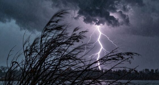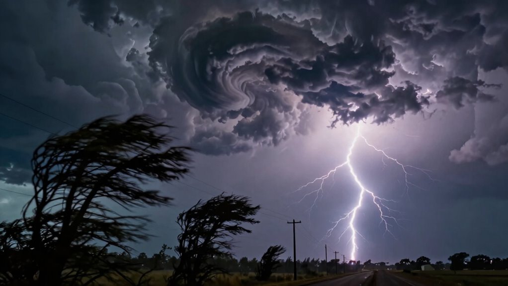

Derecho storms are fast-moving wind events that can cause widespread outages and damage quickly, often catching people off guard. With winds reaching hurricane-force speeds and traveling at 30-60 mph or more, they can knock out power and destroy infrastructure over hundreds of miles in just a few hours. Many don’t recognize early signs or underestimate how rapidly these storms develop. Stay prepared; understanding these threats better could help you protect yourself and your community.

Get backup power and energy gear delivered free with Prime
- Fast, free delivery on millions of items
- Prime Video, Amazon Music and more included
- Member-only deals all year
Key Takeaways
- Derechos produce hurricane-force straight-line winds over hundreds of miles in a short time, causing widespread outages.
- Rapid storm movement (30-60 mph) often surprises communities, leaving little time for preparation or evacuation.
- Early warning signs like bow echoes and radar signatures are often missed or misunderstood by the public.
- Power outages from derechos can last days, severely disrupting daily life and emergency response efforts.
- Many underestimate derechos’ destructive potential, risking injury and extensive damage without proper preparedness.
What Is a Derecho and How Does It Form?

What exactly is a derecho, and how does it develop? A derecho is a long-lasting, widespread windstorm associated with a band of fast-moving thunderstorms. Unlike tornadoes, it produces straight-line winds that can reach hurricane-force speeds, causing significant damage across hundreds of miles. These storms form when mesoscale convective systems, or large clusters of thunderstorms, create powerful outflow gust fronts that lift warm, moist air and sustain continuous convection. A bow echo—a curved, radar-detectable signature—indicates the storm’s presence and strength. The development involves strong winds aloft, which push the storm forward rapidly, often between 30 to 60 mph. As the storm progresses, clusters of damaging microbursts merge, creating a continuous, destructive wind swath that can cause widespread power outages, property damage, and safety risks. Understanding the energy-efficient cloud infrastructure that supports weather data analysis can help improve forecast accuracy and early warning systems. Additionally, the rapid movement and extensive reach of derechos make them particularly challenging to predict accurately, emphasizing the importance of advanced storm tracking technology for timely alerts. Improved understanding of atmospheric dynamics can further enhance forecasting models, potentially leading to better preparedness. Enhanced predictive modeling can aid meteorologists in providing earlier warnings, potentially saving lives and reducing damage. Moreover, climate change may influence the frequency and intensity of such extreme wind events, making awareness and preparedness even more critical.
Unique Characteristics That Make Derechos Dangerous

The unique characteristics of derechos make them particularly dangerous because they can produce extremely powerful straight-line winds that cause widespread destruction within a very short timeframe. These winds can reach hurricane-force speeds, leveling trees, damaging buildings, and knocking out power across hundreds of miles. Unlike tornadoes, derechos lack rotating funnels, so their threat often goes unnoticed until damage occurs. Their rapid movement—up to 60 mph—means impacts arrive suddenly, leaving little time to react. Recognizing the powerful straight-line winds associated with derechos is essential for safety planning. The table below captures their emotional impact:
| Impact Area | Consequence |
|---|---|
| Power Outages | Hours or days without electricity |
| Structural Damage | Collapsed roofs, fallen walls |
| Emergency Response | Overwhelmed resources, chaos |
Understanding these traits helps you grasp why derechos demand respect and swift action, especially since their rapid movement can catch even prepared communities off guard. Being aware of the storm characteristics can help in developing effective safety measures and response plans to minimize damage and protect loved ones.
How Fast Do Derechos Move, and Why Does That Matter?

Understanding the speed at which derechos move is key to grasping their destructive potential. Typically, they travel between 50 and 95 km/h (roughly 30 to 60+ mph), allowing them to cover hundreds of miles in just a few hours. This rapid movement means impacts can occur suddenly and simultaneously across large regions, leaving little time for preparation. The fast pace also causes the wind gusts to strike with hurricane-force strength in some cases, causing widespread damage to trees, power lines, and buildings. Because of their speed, many people only have minutes to seek shelter once a warning is issued. This swift progression underscores the importance of timely alerts and pre-planned safety measures to reduce injuries and property loss. Recognizing the movement speed of derechos can help communities better prepare for these unpredictable storms, especially given how rapid storm development can catch residents off guard. Additionally, understanding storm dynamics aids in developing more effective early warning systems and response strategies. Incorporating auditory processing awareness into emergency communication can improve public responsiveness during such fast-moving events.
The Wide Reach and Power of Derecho Winds

Derecho winds can reach hurricane-force speeds, producing damage over vast areas that span hundreds of miles. These powerful straight-line winds can cause widespread destruction, knocking down trees, utility poles, and damaging buildings. As they move rapidly, often between 30 to 60+ mph, they cover large regions in just hours, leaving little time for preparation. The winds are concentrated along a bow echo signature, driven by strong rear-inflow jets and downburst clusters. In extreme cases, gusts exceed 100 mph, comparable to hurricanes, yet they spread damage in a straight line rather than a circular pattern. This immense power allows derechos to impact entire communities quickly, making them one of the most destructive wind events you might encounter.
Common Impacts on Infrastructure and Daily Life

Winds reaching hurricane-force speeds can cause immediate and widespread damage to infrastructure, disrupting daily life across large regions. Power lines may topple, leading to massive outages that affect homes, businesses, and hospitals. Trees and debris can block roads, hindering emergency response and transportation. Buildings, especially poorly secured ones, risk roof damage, broken windows, or structural failure. Telecommunications networks often go down, cutting off communication when you need it most. The table below summarizes common impacts:
| Infrastructure Impact | Daily Life Disruption |
|---|---|
| Power outages | Loss of electricity, affecting daily routines |
| Blocked roads and debris | Travel delays, emergency access issues |
| Structural damage to buildings | Safety hazards, shelter concerns |
| Communication failures | Limited information flow, coordination breakdowns |
Additionally, the disruption of essential emergency services can significantly hinder response efforts during and after the storm. This underscores the importance of preparedness and resilient infrastructure to mitigate these impacts effectively. Recognizing the potential for widespread outages before a storm hits can help communities better prepare and respond to these challenges. Being aware of storm speed and its destructive power can motivate timely action and safeguard resources. Furthermore, understanding the risk factors associated with Derecho storms can improve early warning systems and community resilience.
Why Many People Fail to Recognize the Warning Signs
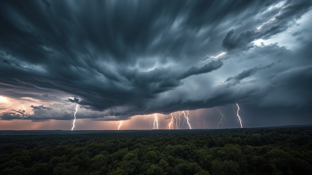
Have you ever wondered why it’s so easy to overlook the warning signs of an approaching derecho? Many people miss these signs because derechos typically lack the dramatic funnels or rotating clouds that signal tornadoes. Instead, they develop rapidly, giving little time for alerts or visual cues. The weather might seem normal, with just a few scattered thunderstorms, making it hard to anticipate the severe straight-line winds about to hit. Additionally, public awareness of derechos is limited, so people often don’t recognize the early indicators, like a bow echo on radar or a sudden increase in wind speed aloft. Without clear visual cues or prolonged warnings, you may only realize the danger once the damaging winds are already underway. Recognizing weather pattern indicators can significantly improve early detection and preparedness.
Strategies to Protect Against Derecho Damage
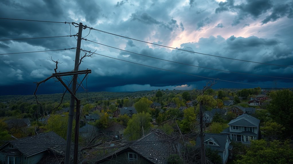
Protecting yourself and your property from derecho damage requires proactive measures before storms arrive. Planning ahead minimizes injury and property loss when high winds strike.
Proactive planning minimizes injury and property loss during derecho storms.
- Trim trees near your home and utility lines to prevent falling branches and power outages.
- Reinforce your roof with storm ties or impact-resistant materials to resist gusts exceeding 75 mph.
- Install surge protectors and backup power sources to maintain critical systems during outages.
- Keep an emergency kit with water, food, and supplies ready in case travel or communication is disrupted.
- Building codes and proper construction practices can also help improve your home’s resilience to high winds and severe storms.
- Regularly inspecting and maintaining your home’s structural integrity ensures it remains resilient against severe weather events.
- Understanding severe weather patterns and monitoring updates from trusted sources can help you prepare more effectively for fast-moving storms like derechos.
- Staying informed about storm preparedness strategies can further reduce the risks associated with sudden severe weather events.
- Educating yourself about water damage mitigation techniques can help minimize flooding and related issues during severe storms.
Taking these steps helps reduce damage and speeds recovery. Staying informed through weather alerts also allows you to seek shelter quickly when a derecho approaches. Preparedness is your best defense against this fast-moving threat.
The Role of Weather Forecasting and Early Warnings

You rely on accurate mesoanalysis and detection tools to identify approaching derechos early on, giving you vital lead time. Effective public warnings depend on clear communication of the straight-line wind threat and sheltering steps, which can save lives and reduce injuries. When forecasting methods improve and warnings are timely, communities can better prepare for these rapid, widespread events. Incorporating science-based sleep guidance into emergency preparedness can also help responders and affected individuals maintain alertness and decision-making capacity during crises.
Mesoanalysis and Detection
Mesoanalysis plays a crucial role in detecting and forecasting derechos by analyzing the evolving mesoscale and synoptic weather patterns that contribute to their formation. By examining radar signatures, temperature, wind profiles, and moisture content, meteorologists can identify the early signs of a derecho’s development, such as bow echoes and rear-inflow jets. Advanced tools like high-resolution models and real-time satellite data help pinpoint where and when these storms might occur. Rapid detection enables timely warnings and helps you prepare.
- Tracking bow echoes with radar to identify storm organization
- Monitoring wind profiles for strong, unidirectional flows
- Analyzing moisture and temperature for favorable thermodynamic conditions
- Using real-time satellite data for early storm evolution signs
Public Warning Effectiveness
Effective weather forecasting and early warning systems are essential for minimizing the impacts of derechos, given their rapid development and extensive reach. Since derechos can form and strike within minutes, timely alerts are critical for public safety and infrastructure protection. Accurate detection of bow echoes and mesoscale features allows forecasters to issue warnings that highlight the straight-line wind threat, which many people might not recognize as dangerous. Clear, targeted messaging helps guarantee people understand the need to seek shelter immediately, even if there are no visual cues like tornadoes. The effectiveness of these warnings depends on communication speed, clarity, and public awareness. When alerts reach communities promptly and emphasize the unique dangers of derechos, casualties and damage can be considerably reduced.
Preparing Communities for Rapid, Widespread Outages
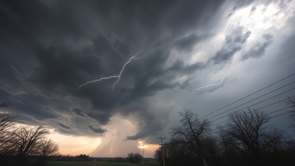
To prepare your community for rapid, widespread outages, you need to focus on essential strategies like emergency supply preparedness, vegetation management, and infrastructure reinforcement. Clear communication guarantees residents understand how to respond quickly and safely when a derecho hits. Taking these proactive steps minimizes damage and speeds up recovery for everyone involved.
Emergency Supply Preparedness
Preparing your community for rapid, widespread outages caused by derechos requires proactive planning and the right emergency supplies. You need to be ready for long-lasting power failures, disrupted communication, and limited access to essentials. Stock up on key items to guarantee safety and comfort during outages. Keep these supplies on hand:
- Non-perishable food and bottled water for at least three days
- Battery-powered or hand-crank radios and flashlights
- Extra batteries, blankets, and personal hygiene items
- First aid kits and necessary medications
Having these supplies prepared ensures you can handle unexpected disruptions. Regularly check expiration dates and replenish stock. Educate your community on where supplies are stored and how to use them efficiently, so everyone stays safe when a derecho strikes.
Vegetation and Infrastructure Management
Proactively managing vegetation and infrastructure can substantially reduce the impact of derechos on your community’s power and communication systems. Regularly trim trees near power lines to prevent branches from falling during high winds, which can cause widespread outages. Implement setback distances for new trees to minimize risk, and prioritize the removal of dead or weak limbs. Reinforce and upgrade critical infrastructure—such as utility poles and crossarms—to withstand straight-line winds. Consider undergrounding vulnerable lines, especially in high-risk areas. Conduct routine inspections and maintenance to identify vulnerabilities before storms strike. By investing in proper vegetation management and infrastructure resilience, you can decrease the likelihood of large-scale outages, shorten repair times, and protect your community’s essential services during these fast-moving, damaging storms.
Community Communication Strategies
Effective community communication is essential for managing the rapid, widespread outages caused by derechos. Clear, timely messaging helps residents understand the threat and take immediate shelter. You should establish multiple communication channels, such as sirens, social media, local radio, and text alerts, to reach diverse audiences. Regular community drills and educational campaigns ensure people recognize warning signs and know how to respond quickly. Providing specific shelter instructions—like avoiding windows and staying indoors—reduces injuries. Collaborate with local agencies to coordinate responses and share updates during events. Pre-event planning helps avoid confusion and panic.
- Use multiple, redundant warning systems for maximum reach
- Educate residents on derecho-specific threats and safety measures
- Conduct community drills to test response plans
- Share real-time updates during storms to guide actions
Frequently Asked Questions
How Can I Distinguish a Derecho From a Tornado Visually?
You can distinguish a derecho from a tornado visually by noting that derechos produce a long, straight-line wind damage path, often with a bowed or linear appearance, whereas tornadoes form a twisting, funnel-shaped cloud. During a derecho, you’ll see widespread, straight-line winds and a large, continuous storm line with a bow echo signature on radar. Tornadoes are typically localized with a visible funnel cloud or debris swirl, unlike the broad damage swath of a derecho.
What Are the Best Sheltering Practices During a Derecho?
During a derecho, seek shelter indoors in a sturdy building, preferably in a basement or interior room away from windows. Avoid windows, glass doors, and exterior walls, as straight-line winds can shatter glass or cause debris to enter. If possible, use a helmet, mattress, or heavy furniture for extra protection. Stay informed with weather alerts, and wait until authorities declare the storm is over before leaving shelter.
How Do Derechos Impact Renewable Energy Infrastructure Like Wind Farms?
When a derecho hits, it can knock out renewable energy infrastructure like wind farms in a heartbeat. High straight-line winds and sudden gusts damage turbines, topple blades, and strain equipment. You should prepare by reinforcing turbine structures, installing protective measures, and having rapid response plans. Don’t wait until the storm’s knocking on your door; proactive measures help minimize outages and keep energy flowing when it’s needed most.
Can Derechos Occur Outside the United States? if So, Where?
Yes, derechos can happen outside the United States. They’ve occurred in Canada, Mexico, parts of Europe, and Asia, especially in regions with strong convective systems and favorable thermodynamic conditions. If you’re in these areas, stay alert during hot, moist summer months or when strong upper-level winds are present. Recognize the signs of an approaching bow echo or fast-moving storms to protect yourself and your property.
What Community Planning Measures Effectively Reduce Derecho-Related Outages?
Want to lessen derecho-related outages? You should prioritize vegetation management by trimming trees near power lines and establishing setback zones. Reinforcing infrastructure with stronger poles and undergrounding critical feeders also helps. Pre-staging crews and forming mutual-aid agreements enable quicker responses. Do you have building codes that promote impact-resistant designs? Implementing these measures can substantially reduce damage, shorten outage durations, and improve community resilience against fast-moving, destructive windstorms like derechos.
Conclusion
Understanding derechos is like knowing the storm’s secret code—you can’t defend against something you don’t recognize. By staying alert, heeding warnings, and preparing ahead, you can weather their fury. Remember, these storms are lightning-fast, so don’t wait to act. Think of derecho outbreaks as nature’s swift wake-up call—miss it, and you risk being caught in their thunderous wake. Stay informed, stay safe, and keep your defenses ready.
Halloween Picks
halloween
As an affiliate, we earn on qualifying purchases.